Plan a Trout Trip Around Rising Water Without Taking Unnecessary Risks
When rain is still falling or a mountain river is climbing, the best trout trip may be a delayed or lower-risk one. I’ll show you how to weigh flow trends, access, crossing points, backup water, and clear turn-around decisions before leaving home.
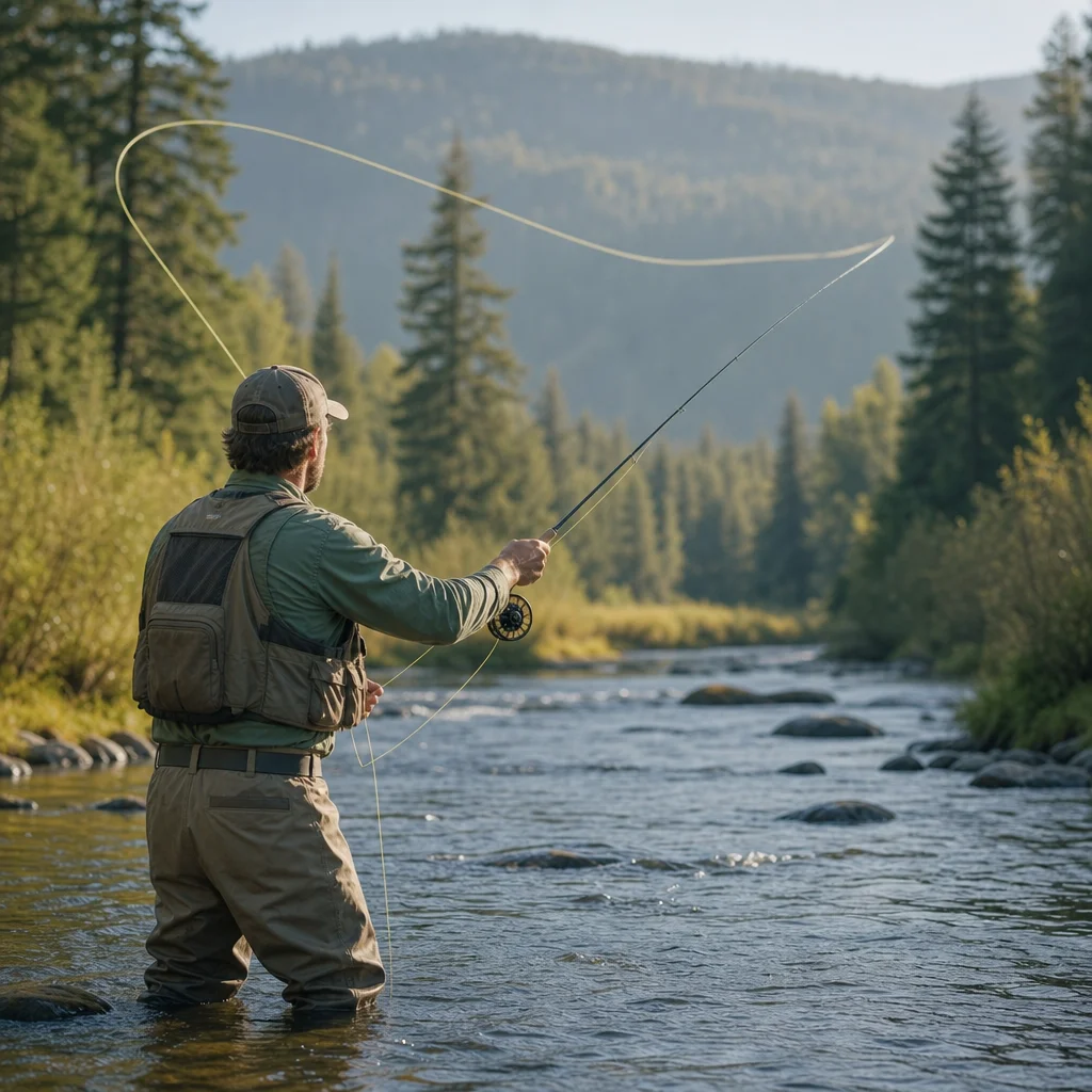
Rain can improve a trout river and make the same river unsafe within a few hours. Rising water may move fish toward edges, add color, and create productive feeding lanes, but it can also overwhelm crossings, wash out roads, and leave you committed to a route that no longer makes sense.
Planning around high water is less about finding a magic flow number than comparing several changing conditions. You need to know what the river is doing, how long it may keep doing it, and whether you can reach and fish your chosen water without depending on a risky crossing or unstable road.
Start with the trend, not just the current flow
A gauge reading is a snapshot. The trend tells you whether conditions are improving, deteriorating, or likely to change before you arrive.
Check the river’s recent hydrograph and compare it with the forecast for the watershed, not only the forecast at your home or destination town. A river may continue rising after rain has stopped locally because water is still moving downstream from higher elevations or tributaries.
Look for these broad patterns:
- Steady or slowly falling water: Often the most manageable option after a storm, provided roads, banks, and crossings are safe.
- Rapidly rising water: A warning that conditions may be different by the time you reach the river. Productive fishing is secondary to access and escape options.
- High but stable water: Sometimes fishable along suitable banks, but still capable of making wading and narrow roads dangerous.
- A sharp drop after a peak: Potentially attractive for fishing, but check whether debris, mud, damaged access, or newly exposed unstable banks have changed the risk.
Don't assume that a river is safe because the number is below a level you remember from another trip. Gauge locations, channel shape, gradient, bedrock, and tributary influence all affect what a reading means on the ground.
Check the watershed before you commit: Review the latest gauge graph, precipitation forecast, weather alerts, and land-management or road updates for the exact drainage you plan to fish. If the river is still rising rapidly, treat that as a reason to delay or change locations rather than a challenge to solve at the bank.
Separate the fishing decision from the travel decision
A river can offer reasonable fishing conditions while the journey to it is unsafe. Rain-fed mountain watersheds make this distinction especially important because the most serious hazards may be on the road, trail, or approach rather than in the main channel.
Before leaving, assess four separate parts of the trip:
- Getting to the area: Are roads open, and are there steep unpaved sections, fords, culverts, or exposed slopes?
- Reaching the bank: Can you access the water without walking beneath unstable banks or along a flooded trail?
- Moving between spots: Can you fish a meaningful section from one side, or does the plan depend on repeated crossings?
- Leaving quickly: If rain intensifies, daylight fades, or the river rises again, do you have a simple route back?
This approach prevents a common planning mistake: choosing water based on its fishing potential and only later discovering that the safest way to fish it requires a crossing you shouldn't make.
Choose access that doesn't depend on wading
When water is rising, favor locations where you can fish from stable banks, gravel bars that remain well above the flow, or established trails with more than one exit. A familiar river may look deceptively manageable from the road while its crossing points have become deeper, faster, or full of floating debris.
A crossing shouldn't be treated as a routine step just because you have made it in lower water. Rising water changes depth, current speed, footing, and the consequences of a fall. Cold water, heavy clothing, a pack, and a difficult downstream bank can turn a short crossing into an emergency.
Practical choices include:
- Fish one bank rather than cross to reach the “better” side.
- Select water with nearby high ground and multiple ways out.
- Avoid routes that require stepping onto wet logs, unstable boulders, or undercut banks.
- Leave extra room from the edge where the bank is saturated or visibly slumping.
- Keep your vehicle pointed toward the exit when parking in a narrow or questionable area.
If a trip only works when you cross the river at a particular point, it isn't a flexible high-water plan. Choose water where the fishing remains worthwhile if you never enter the channel.
Treat tributaries and side channels as separate hazards
A main-stem river may appear stable while a small tributary is rising quickly. Mountain creeks can change rapidly after localized rain, and side channels may be deeper or faster than they look. Don't assume that a narrow channel is a safe channel.
Avoid standing on islands or gravel bars that could become cut off. Rising water can turn a convenient route back to the vehicle into an isolated patch of river. If you can't clearly identify a safe retreat before entering an area, stay on the side with the simplest exit.
Compare fishing opportunity with risk and flexibility
High water creates real trade-offs. Postponing may mean missing a short feeding window, while going ahead may provide active fish in water that is difficult to reach or leave. The useful question isn't “Can someone catch trout in these conditions?” It is “Does this particular plan offer enough fishing value without relying on a risky assumption?”
Option 1: Fish the original river
This can make sense when the flow is stable or falling, access is confirmed, and you can remain on safe banks. Rising or discolored water may concentrate trout along softer edges, behind structure, and near slower seams.
The drawback is limited flexibility. If the river rises again, visibility worsens, or a road closes, your original plan may have few alternatives. This option works best when you know the access well and can leave without crossing the river.
Option 2: Move downstream or to a larger, lower-gradient section
A downstream reach may have more developed access, broader banks, and fewer technical crossings. It may also respond more slowly than a small headwater stream, giving you more time to make decisions.
The trade-off is that the water may be more crowded, less clear, or less attractive for the style of fishing you had in mind. It can still be the better trip if it keeps the route and exit straightforward.
Option 3: Choose a tributary or smaller water
Smaller water can sometimes clear or fall sooner, and its banks may offer manageable short casts. But tributaries can also rise faster, become unfishable with little warning, and have more limited public access.
Use current local information rather than assuming “smaller” means safer. A narrow creek with steep banks may leave you fewer options than a broad river.
Option 4: Delay the trip
Waiting is often the most efficient choice when rain is continuing, the forecast is uncertain, or the trip depends on a road or crossing that hasn't been confirmed. Delaying can also preserve the value of the outing: you spend your time fishing rather than monitoring hazards and wondering whether to turn around.
The cost is obvious—you may miss the first period of improving conditions. That cost is usually easier to accept when you identify a replacement date or a lower-risk nearby option before canceling.
Verify access before driving into the watershed: Check official road, trail, closure, and weather information as close to departure as practical. Conditions can change after the latest update, so be prepared to turn around if the road, culvert, parking area, or trail looks different from the information you found.
Build a backup plan that is genuinely usable
A backup plan isn't simply naming another river. It should be specific enough that you can use it without making a rushed decision in bad weather.
For each primary and backup location, note:
- The nearest reliable access point and parking option.
- Whether fishing is possible from one bank.
- The gauge or weather station that best represents the area.
- A route that avoids river crossings and low-water fords.
- A clear stopping point if the route becomes blocked or conditions deteriorate.
- A legal alternative if your first choice is closed or unavailable.
Keep the backup geographically and hydrologically distinct when possible. Two nearby streams may both be rising from the same storm. A lower-elevation reach, a larger river, or a different drainage may provide a more meaningful alternative than another access point on the same swollen system.
Check access rules before relying on the backup. Land ownership, seasonal closures, parking restrictions, and fishing regulations can vary between neighboring waters and may change over time.
Set turn-around decisions before you arrive
High water makes judgment harder because you have already invested time, fuel, and anticipation in the trip. Decide in advance what conditions will end the outing or change the plan. A pre-set rule is easier to follow than negotiating with yourself beside a flooded trail.
Useful turn-around triggers include:
- The river is rising faster than expected or the forecast has worsened.
- A road, bridge, culvert, or trail is damaged, flooded, or covered by moving water.
- Reaching the fishing area requires a crossing you didn't plan to make.
- You can't identify a safe route back from the bank.
- Water is moving around your vehicle, blocking the only exit, or undermining the parking area.
- Lightning, intense rainfall, rockfall, or falling trees create a separate hazard.
- You are tired, cold, short on daylight, or increasingly focused on solving access problems instead of fishing.
Turning around isn't a failed trip. It is a successful decision when the conditions no longer match the plan.
Adjust the fishing once conditions are acceptable
If the trip passes the access test, change your tactics to match the river rather than trying to fish it as though it were normal summer flow.
Stay close to safe banks and target water where trout can hold without fighting the strongest current: inside bends, soft edges, slower pockets, and areas behind substantial structure. Give yourself room from the bank, because saturated soil and undercut edges can fail unexpectedly.
Use enough visibility and control to keep the fly in the likely feeding lane, but don't wade farther simply to reach a familiar lie. High water often rewards covering new edge water more than forcing access to the middle of the river.
Keep the outing shorter than usual if conditions are unsettled. A modest session with a simple exit is a better plan than extending the day until changing light, fatigue, or another burst of rain removes your margin for error.
A simple decision checklist
Before leaving, ask:
- Is the river rising, falling, or stable?
- Is the forecast likely to change that trend before I arrive?
- Are the road, trail, bridge, and parking conditions confirmed recently?
- Can I fish the planned section without crossing the river?
- Does every location have a safe, obvious way out?
- Is my backup water actually outside the same storm response?
- What exact condition will make me delay, relocate, or return home?
If several answers are uncertain, reduce the ambition of the trip. Choose accessible water, shorten the route, or wait for the hydrograph to settle. Rising water can create excellent trout conditions, but only when the plan leaves you enough flexibility to stop before a fishing opportunity becomes an unnecessary risk.
Practical next steps
The evening before a rain-affected trip, save the relevant gauge graph, review the watershed forecast, and list one primary and two realistic alternatives. On the morning of the trip, check for new road or weather information and compare the river’s actual trend with your expectation.
Then choose the option that remains safe if conditions get slightly worse—not the option that works only if everything improves on schedule. That small margin is what turns uncertain high water into a sensible day on the river.