How to Check Access, Rules, and Closures Before You Fish
Access, regulations, and closures can turn a promising fishing plan into a wasted drive. I’ll show you how to connect official maps, license information, season dates, special rules, and local updates into one reliable pre-trip check.
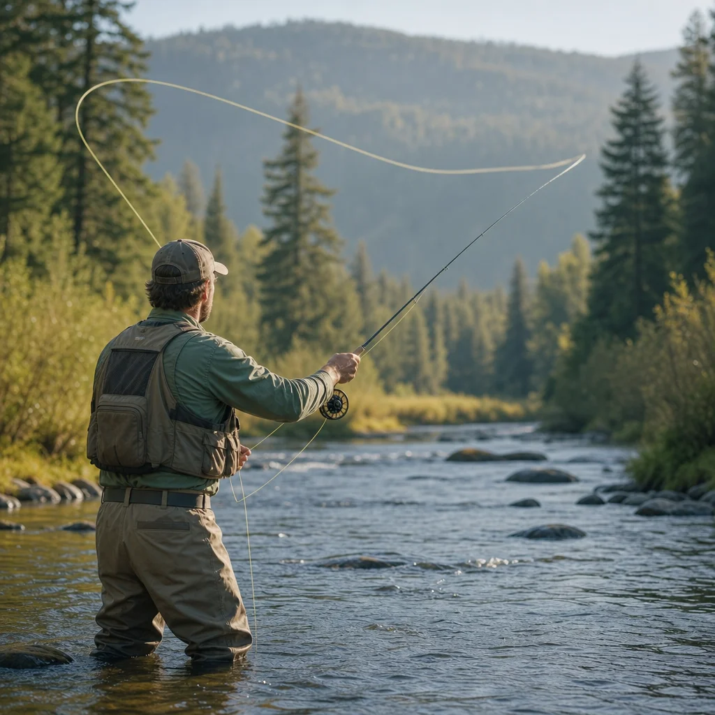
A public-looking road, a familiar stream, or an open date on the calendar doesn’t necessarily mean you can legally fish. Access may depend on land ownership, a parking agreement, a seasonal gate, or permission from a private owner. Regulations can change by water, species, bait, tackle, and even the section of stream you plan to fish.
A dependable pre-fishing check treats access and regulations as connected questions rather than separate chores. You want to know where you can go, when you can fish, what you can use, what you can keep, and whether anything temporary has changed.
Start with the exact fishing location
Begin with a specific destination, not just a river name. A large river may pass through several counties, management areas, private parcels, and regulation zones. “Fishing the Pine River” is too broad for a reliable check; “the public pull-off below Mill Bridge in the North Fork section” is much more useful.
Record as many identifying details as you can:
- Water body and tributary name
- State, county, or other local jurisdiction
- Access point, road, bridge, trailhead, or parking area
- Direction of travel and nearby landmarks
- Management area, wildlife refuge, national forest, or park name
- The species you intend to target
- Your expected fishing date
This precision helps you compare the same place across multiple official sources. It also exposes boundary problems. A parking area might be public while the bank beyond it is private, or a stream might form the boundary between two jurisdictions with different rules.
Use a source hierarchy instead of one convenient search result
Search engines, fishing forums, map apps, and social media can help you discover a location, but they shouldn’t be your final authority for current access or rules. Information may be old, copied without context, or accurate only for a nearby section of water.
For current decisions, use sources in roughly this order:
- State fish and wildlife agency: licenses, statewide regulations, seasons, species limits, special regulations, and emergency notices.
- Land manager: access rules, parking, gates, permits, area closures, camping restrictions, and site-specific notices. This may be a federal agency, state park, county department, municipality, tribal government, or private organization.
- Official property or access information: public-land maps, easement details, designated access points, and boundary information.
- Local office or ranger station: clarification when maps or written rules don’t answer a specific question.
- Local shops and angling groups: useful context about conditions, but not a substitute for official rules.
A source can be official and still be incomplete. A state regulation booklet may explain fishing rules without telling you whether a forest road is gated. A land manager’s page may list a closure without explaining the trout regulations. Your job is to join the pieces.
Check the current water notice: Before you leave, open the relevant state agency and land-manager pages for your exact destination and fishing date. Confirm that the access point, season, and any temporary closure or emergency order are still valid.
Verify land access, not just public ownership
Public ownership doesn't automatically make every shoreline or road legally accessible. You still need a lawful route to the water and permission to fish from the place where you’ll stand.
Check four separate access questions:
Can you legally reach the site?
Look for a designated public entrance, trailhead, boat launch, or road. Confirm whether the route is open to the public and whether a gate, permit, reservation, or fee applies. A road shown on a map may be private, seasonally closed, restricted to certain vehicles, or impassable even when it’s technically open.
Can you park there?
Parking rules can be different from fishing rules. Check for posted restrictions, day-use requirements, time limits, overnight rules, and whether parking requires a pass or reservation. Never assume that a wide shoulder is an acceptable place to leave a vehicle.
Can you reach the bank from that access point?
A public access point may lead only to a launch, a short trail, or one side of the water. Fences, cliffs, dense vegetation, and private parcels may limit where you can walk. Don’t cross private land to reach a more attractive stretch unless you have permission.
Does access change seasonally?
Gates, construction, hunting seasons, fire conditions, flooding, snow, and maintenance can change access without changing the fishing regulations. Check the date of any access information and look for a current notice from the agency that manages the property.
Separate the general season from the water-specific rule
A statewide season is only a starting point. The stream you choose may have a different opening date, a year-round season, a delayed harvest period, or a closure that applies to one section but not the next.
Read the regulations for the specific water and section. Pay attention to terms such as “from,” “to,” “upstream of,” “downstream of,” and “including tributaries.” A bridge or road crossing may mark a boundary. So may a dam, county line, confluence, or named landmark.
Then check the rules that affect your method:
- Species you may target or retain
- Daily possession and size limits
- Catch-and-release requirements
- Artificial-lure or fly-fishing-only provisions
- Barbless-hook requirements
- Bait restrictions
- Tackle limitations
- Gear restrictions in special management areas
- Whether fishing from a boat, float tube, or bank is allowed
Definitions matter. “Artificial lure,” “single hook,” “barbless,” and “bait” may have specific meanings in your state’s regulations. If the wording is unclear, contact the responsible agency rather than relying on a general understanding.
Confirm license and permit requirements
Most anglers need a current fishing license, but the details vary by state and situation. Check the requirements for your residency, age, military or disability status if relevant, and the type of water you’ll fish. Some destinations also require a trout stamp, special permit, access pass, parking permit, or daily reservation.
A license purchase receipt may not be the same thing as proof of authorization for every activity. Know whether you need a physical license, a digital copy, an identification number, or an additional permit. Keep required documentation available in the format the issuing agency accepts.
If your trip crosses a state line, verify both where you’ll enter the water and which license applies. Fishing from one bank into water governed by another jurisdiction can create a confusing situation, especially on boundary waters.
Confirm what you need to carry: Check the issuing agency’s current license and permit requirements, then save the applicable documents, confirmation numbers, and agency contact details before traveling to an area with weak cell service.
Look for temporary closures and local restrictions
Temporary information is often the easiest part to miss because it may appear outside the main regulation booklet. Search the official destination page for current notices involving:
- Wildfire, smoke, or emergency conditions
- Flood damage or unsafe bridges
- Construction and road work
- Water rescues or hazardous flows
- Fish disease or contamination concerns
- Fish kills or chemical spills
- Drought-related restrictions
- Habitat restoration or seasonal work
- Public safety incidents
- Special events or temporary land closures
Also check local restrictions that don’t come from the state fish and wildlife agency. A city reservoir, national park, wildlife refuge, tribal area, or private access program may impose rules about hours, dogs, wading, fires, drones, camping, or alcohol. These requirements can apply even when your fishing license is valid.
If a closure notice is vague, treat the ambiguity as a reason to pause. Call the listed office and ask about the exact access point, dates, boundaries, and alternatives. Note the name or role of the person who provides clarification, along with when you received it.
Compare the low-friction and high-certainty options
There’s usually a trade-off between convenience and certainty. A popular access point with abundant online information may involve crowds, reservations, parking limits, or changing restrictions. A lesser-known location may be quieter but harder to verify and more likely to involve private boundaries.
For a first visit, favor an access point with:
- A clearly identified public entrance
- Current information from the responsible manager
- Visible boundaries and posted rules
- Reliable parking
- A straightforward route to the water
- A nearby alternative if conditions change
For a familiar destination, you can use a faster routine, but still check for temporary changes. Familiarity is useful; it isn’t a current access permit.
Build a simple verification record
Before departure, make a short note containing:
- Destination and exact access point
- Date and expected fishing hours
- License and permit requirements
- Season and special regulations
- Closure or emergency-status result
- Parking or gate information
- Primary official links and phone numbers
- Backup destination with its own basic check
Save a screenshot or offline copy of the relevant map and notices when permitted. Websites can be redesigned, phone service can disappear, and a printed regulation booklet may not include a notice issued later. A saved record helps you remember what you checked, but it doesn’t override a newer sign or closure posted at the site.
At arrival, read signs before unloading. Compare the posted information with your notes. If they conflict, follow the more restrictive instruction until you can clarify the difference with the responsible authority.
A five-minute departure checklist
Use this abbreviated check when you’re making a familiar trip:
- Is the exact access point open today?
- Do I have lawful parking and a legal route to the water?
- Is the water open for the species and method I plan to use?
- Do my license, stamps, permits, and documents cover this trip?
- Are there temporary closures, hazards, or local restrictions?
- What is my legal backup location if the plan changes?
If you can answer each question from a current, credible source, your trip is much less likely to end at a locked gate or an uncomfortable conversation with a land manager. The fishing still depends on weather, water, and trout cooperation—but at least the paperwork won’t be the reason you never make a cast.
Practical next steps
Choose one specific access point and run the full check once, recording the official sources you used. On future trips, revisit those sources for current notices, confirm the date-specific rules, and inspect posted signs when you arrive. When access or regulations remain uncertain, choose the location with clearer public information rather than trying to interpret uncertainty in the parking lot.