How to Check River Conditions Before a Same-Day Trout Trip
When a river looks familiar but conditions have shifted overnight, I’ll help you build a same-day check that weighs flow, weather, alerts, access, and local notices before you leave.
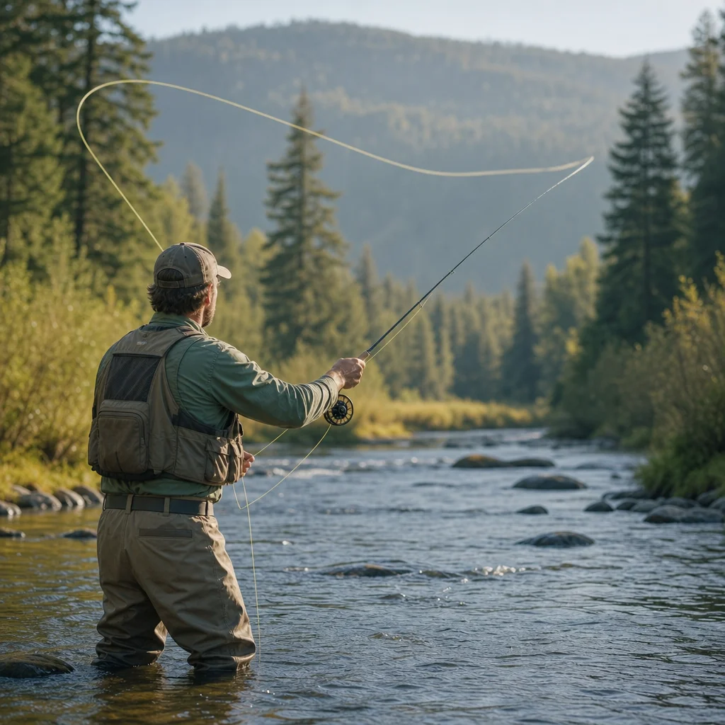
A familiar river can become a very different fishing destination after one storm, a cold front, a rapid snowmelt pulse, or a change in access. Before you load the car, spend a few minutes checking the conditions that affect both fishing quality and personal safety.
The goal isn’t to predict the river perfectly. It’s to establish whether the trip is sensible, what you should expect, and what would make you change plans.
Start with the river gauge
River flow is often the most useful same-day indicator, but a single number needs context. Find the official or well-maintained gauge nearest to your planned reach, then check three things:
- Current flow: Look for the latest discharge reading, usually shown in cubic feet per second (cfs) in the United States or cubic metres per second (m³/s) in Canada.
- Recent trend: Determine whether the river is rising, falling, or holding steady.
- Gauge relevance: Confirm that the gauge represents the section you plan to fish. A gauge upstream may not reflect tributary inflows or local releases below it.
A rising river can carry more floating debris, muddy the water, and make wading more hazardous. A falling river may improve clarity and access, but a river can remain fast or deep for hours after the peak has passed. Conditions also vary by river size, gradient, season, and local geology, so avoid treating a flow number as a universal safe or unsafe cutoff.
If you’ve fished the area before, keep a simple record of flow, clarity, weather, and which banks or pools were comfortable. Over time, those notes become more useful than a generic internet recommendation. You’ll learn what “fishable” means on that particular river for your own ability and equipment.
Read the chart, not just the latest number
Many gauge pages show a hydrograph covering the previous day or several days. Use it to identify a pattern:
- Stable flow: Conditions may be predictable, although clarity and temperature still matter.
- Rising flow: Expect changing wading conditions and possible debris. Delay or choose a safer bank-based plan if the increase is substantial.
- Falling flow: Access may improve, but soft banks, slippery rocks, and residual current remain concerns.
- Sudden spikes or drops: Investigate possible rain, dam operations, or gauge anomalies before relying on the reading.
Check the gauge’s timing: Confirm when the reading was last updated, which time zone is used, and whether the data is provisional. A stale reading can make yesterday’s river look like today’s river.
Check weather at the river, not only at home
A general forecast for the nearest town may miss conditions in a canyon, mountain valley, or exposed prairie reach. Compare the forecast for the fishing location with the forecast along your route.
Pay particular attention to:
- Rain already received: Recent rainfall can raise flows even when the forecast now looks dry.
- Rain expected during the trip: A short storm can change a small stream quickly.
- Thunderstorms and lightning: Open banks, ridgelines, and water itself can become poor places to be during electrical storms.
- Wind: Strong wind affects casting, fly control, drift presentation, and the stability of a wading angler.
- Air temperature: Heat increases the need for water, shade, and an honest assessment of how long you’ll handle fish.
- Cold, snow, and freezing conditions: These can affect roads, footwear, dexterity, and the amount of time you can safely spend in the water.
Weather forecasts are estimates, particularly in mountainous terrain. Treat worsening weather as a reason to shorten the trip or move to a more accessible location rather than as a challenge to outlast.
Look for alerts and hazard information
Before departure, check official emergency and hazard sources for the area. Depending on the location, that may include flood warnings, severe weather alerts, wildfire information, smoke conditions, road closures, avalanche notices, or public-health advisories.
Use sources appropriate to the jurisdiction, such as a national weather service, provincial or state emergency-management agency, park authority, land-management agency, or local government. Search by the specific county, district, park, watershed, or road corridor instead of relying only on a broad regional forecast.
A warning doesn’t always mean every part of a watershed is unsafe, but it does mean the original plan deserves another look. If the alert concerns flooding, debris, lightning, wildfire, or road access, choose a conservative response. Fishing is optional; being difficult to locate during an emergency isn't a useful part of the adventure.
Confirm today’s hazards: Check the official alert page immediately before leaving and again if conditions are changing. Note the alert’s affected area, start and end time, and recommended action rather than relying on a headline or social-media summary.
Verify access and regulations
A river can be hydrologically suitable and still be unavailable. Confirm that the access point, parking area, bridge, trail, and road are open for the hours you expect to use them.
Look for information from the land manager, park service, transportation department, fishing-access program, tribal authority, or private property owner, as applicable. Recent closures may result from fire damage, construction, flooding, erosion, seasonal restrictions, or wildlife concerns.
Also verify the regulations that apply to the exact water you plan to fish. Check the current jurisdictional rules for the season, license requirements, open or closed waters, tackle restrictions, bait rules, harvest limits, species protections, and any special catch-and-release provisions. Regulations can differ between neighboring reaches and can change by date.
If you can’t establish that the access is legal and open, select another location. Don’t assume that a familiar pullout remains available because it was open last season.
Check local notices and recent reports carefully
Local fly shops, guide services, watershed groups, clubs, and land managers can provide useful context about clarity, access damage, hatches, or unusual hazards. These reports are most valuable when you use them to supplement official information.
Treat informal reports as time-sensitive observations, not guarantees. “Fishing well” may refer to a different section, a boat rather than a wading approach, or conditions that existed several days ago. Ask or look for details such as:
- When was the observation made?
- Which river section was involved?
- Was the report based on wading, floating, or bank fishing?
- Did the report mention rising or falling water?
- Are there notes about closures, debris, smoke, or poor access?
Recent photographs can help you judge clarity and bank conditions, but they may not show depth, current speed, or hazards below the surface.
Use a simple go, modify, or cancel decision
After gathering the information, make an explicit decision instead of drifting into the trip by habit.
Go as planned
This is reasonable when the gauge is stable or behaving as expected, weather is manageable, no relevant alerts are active, access is confirmed, and the route suits your group’s ability and equipment.
Modify the plan
Change the destination, timing, or fishing method when the river is high but manageable, wind is strong, rain is likely later, or one access point is uncertain. Possible modifications include:
- Fish a smaller or lower-risk reach.
- Stay on the bank instead of wading.
- Choose water with nearby vehicle access.
- Start earlier and leave before forecast weather arrives.
- Fish a short session rather than committing to a full day.
- Bring a backup location with verified access.
A modified trip is often more useful than a canceled one and much more sensible than pretending the original plan still fits.
Cancel or postpone
Postpone when official warnings indicate dangerous conditions, access is closed, roads are unsafe, the river is changing rapidly, or you can’t confidently explain how you’ll get out if conditions worsen. The same applies when a member of the group lacks suitable clothing, footwear, communication, or experience for the conditions.
Don’t use fishing success as a reason to override a safety concern. A high river may contain willing trout and still be a poor place to wade.
Build a repeatable departure routine
Save the key gauge, weather, alert, access, and regulation pages on your phone, but don’t depend on connectivity at the river. Take screenshots or write down essential information when service is unreliable.
A practical pre-departure sequence is:
- Check the river gauge and its trend.
- Check weather, precipitation, wind, temperature, and lightning risk.
- Check official alerts and area hazards.
- Confirm roads, parking, trails, and access permissions.
- Verify current regulations for the exact reach.
- Review local notices for recent changes or hazards.
- Tell someone where you’re going and when you expect to return.
- Pack for the conditions you found, not the conditions you hope to find.
- Set a turnaround time and a clear reason to leave early.
Keep a brief trip log afterward. Record the date, gauge reading, trend, weather, clarity, access condition, and what you would change next time. This maintenance habit makes future decisions faster and helps you recognize when a favorite river is behaving outside its usual range.
Practical next steps
Before your next same-day trout trip, identify the most relevant gauge and official access page for your usual river. Check both on a normal day so you know what the pages show before you need them quickly.
Then create a small decision note on your phone with the gauge link, local alert source, access contact, regulation page, backup water, and your planned turnaround time. Conditions will still change, but a dependable routine means you’re less likely to miss the change—or spend the drive arguing with it.