What to Check Before Driving to a Remote Trout Access
I’ll compare the checks that matter most before you drive toward remote trout water, from road and fuel planning to access rules and communications. You’ll get a practical way to balance preparation, vehicle reliability, and a sensible turnaround plan.
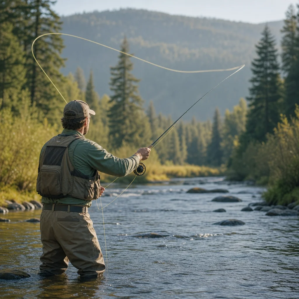
Remote trout access can fail long before you reach the water. A road may be passable on a map but damaged in the field, a familiar pullout may be closed, or a short fishing trip may become an uncomfortable night when fuel and daylight run short.
The goal isn’t to eliminate every uncertainty. It’s to identify the problems that are expensive, dangerous, or difficult to solve once you’ve left reliable services. A pre-drive check should cover the route, vehicle, access, communications, and the point at which you’ll turn around.
Start with the route, not the fishing plan
Choose the access point you intend to use, then trace the entire route from the last dependable town or fuel stop. Don’t evaluate only the final forest road. A remote trip can be limited by a washed-out county road, a closed bridge, construction, or a long stretch without services well before the gravel begins.
Look for:
- The last reliable fuel station, grocery store, and restroom
- The point where pavement ends and how far remains afterward
- Bridges, steep grades, narrow sections, and known washouts
- Alternate routes if the primary road is blocked
- Places where you can safely turn around without backing a long distance
- The nearest larger community if the vehicle develops a problem
Digital maps are useful for orientation, but they can display roads that are seasonal, private, poorly maintained, or no longer passable. Download the area for offline use and save the access point, exit route, and emergency destination before you leave service.
Confirm the road today: Check the relevant land-management agency, county road department, or local authority for current closures, seasonal gates, fire restrictions, construction, and reported road damage. A map route isn't confirmation that the road is open or suitable for your vehicle.
Judge the road by its weakest section
Ask what the most difficult part of the drive requires. A route that is easy for the first 20 miles may end at deep mud, loose rock, a water crossing, or a steep shelf road. Your vehicle and driving experience need to match that section, not the average condition of the route.
If you can’t describe the final miles clearly, treat the uncertainty as part of the plan. Contact a nearby ranger station, road office, outfitter, or other current local source when appropriate. Don’t assume that a report from last season still applies after storms, snowmelt, fire, or heavy use.
Check the vehicle as equipment, not just transportation
Remote access exposes weak maintenance quickly. Before departure, inspect the items that can strand you or prevent a safe return:
- Tires, including tread, sidewalls, pressure, and the spare
- Jack, lug wrench, and the tools needed to change a tire on uneven ground
- Battery condition and terminal connections
- Engine oil, coolant, brake fluid, and windshield-washer fluid
- Brakes, lights, wipers, belts, and visible hoses
- Recovery points and any tow strap or traction equipment you know how to use
- Fuel range under slow, rough-road conditions rather than highway estimates
A vehicle with a warning light, weak battery, damaged tire, overheating tendency, or overdue service deserves attention before a remote trip. “It should be fine” isn't a maintenance strategy; it’s a forecast with poor data.
Avoid adding weight that doesn’t solve a real problem. Extra equipment can reduce fuel range and complicate a recovery. Carry the tools and supplies appropriate to the road, weather, vehicle, and people traveling with you, and know how to use them before you need them.
Treat fuel range conservatively
Calculate fuel from the last dependable refueling point to the access area and back, with margin for detours, idling, low-speed travel, and a longer-than-planned exit. Remote roads often consume more fuel than their mileage suggests.
Don’t rely on a station being open, accepting your payment method, or having the fuel you need. Hours and services can change, especially in small communities. If the route requires a fuel stop, identify a backup and carry fuel only in an approved container secured according to its instructions and local requirements.
Verify the fuel plan: Confirm current station hours, fuel availability, and payment options, then calculate whether you can return to the last dependable fuel stop without relying on an optimistic range estimate.
Confirm communications before you lose service
Tell someone where you’re going, when you expect to arrive, when you’ll leave the water, and when they should act if you don’t check in. Give them the route, vehicle description, license plate, access point, and a backup destination if you have one.
A text message sent from the trailhead may not go through later, so don’t treat a single successful connection as continuous coverage. Download maps, save important phone numbers, and carry a paper map or written route notes. A charged phone is useful, but it isn’t a complete communications plan in an area with limited coverage.
For trips with significant isolation or uncertain service, consider a satellite messenger or other communication device appropriate to the area. Test it in advance, understand its subscription or activation status, and make sure the people receiving messages know what your check-in means. Emergency features aren’t substitutes for route planning, and devices can fail, run out of power, or be blocked by terrain.
Carry backup power protected from heat, moisture, and accidental discharge. Keep critical information available without depending on a screen that may break or lose power.
Confirm where you may park and walk
Access permission and parking permission are separate questions. A public fishing destination may have limited parking, a gate, a designated lot, or a requirement to stay on a particular road. A pullout that looks convenient may block a gate, interfere with traffic, or sit on private land.
Before driving, identify:
- The legal access point and the land manager responsible for it
- Whether parking is allowed at the trailhead, pullout, or roadside
- Any permit, pass, reservation, or registration requirement
- Gate locations and whether you must leave them as you found them
- The route from the parking area to the water
- A legal backup access point if the first one is full or closed
Don't infer public access from a blue line on a map or from the fact that other vehicles are parked nearby. Rivers cross a patchwork of public, private, tribal, state, and federal lands, and the rules can change from one bank or road segment to the next.
Check access at the source: Confirm land ownership, parking rules, permits, gate status, and any current restrictions with the responsible agency, landowner, or official access information. Save the relevant details offline instead of relying on a sign you may not see until arrival.
Look for seasonal and emergency restrictions
Seasonal closures may apply to roads, campgrounds, parking areas, fishing waters, or entire management zones. Weather-related restrictions can appear with little notice during wildfire season, flooding, heavy snow, or extreme heat. Some rules concern more than fishing; they may limit campfires, vehicle access, overnight parking, or travel on roads that are vulnerable to damage.
Check official updates close to departure, particularly when conditions have changed since your route was planned. Read the actual restriction rather than relying on a headline or social-media summary. Note the effective dates, geographic boundaries, permitted activities, and exceptions.
Also check the current fishing regulations for the specific water. Season dates, tackle rules, harvest limits, bait restrictions, and special regulations can differ between nearby streams. Regulations and closures are time-sensitive, so use the responsible fish-and-wildlife agency or land manager as your primary source.
Build a realistic turnaround plan
A remote trip needs a departure plan and an exit plan. Set a time by which you will leave the water, not merely a time by which you hope to catch your last trout. Work backward from darkness, weather, road difficulty, and the time needed to reach fuel, service, or a main road.
Your turnaround plan should answer:
- What time do you stop fishing if the day is going well?
- What conditions make you leave earlier?
- How much daylight do you need for the final road section?
- What happens if the access point is occupied or blocked?
- Where will you stop if the vehicle has a problem?
- When should your contact begin checking on you?
Set both a fishing turnaround and a travel turnaround. For example, you may stop fishing with enough daylight remaining to pack, walk back, inspect the vehicle, and drive the difficult section without rushing. If weather worsens, the vehicle behaves differently, or the road is worse than expected, turn around before reaching the planned destination.
A good plan should make the conservative choice easy. Agree on the decision before fatigue, excitement, or a promising hatch starts negotiating on your behalf.
Use a simple pre-departure checklist
The day before leaving, confirm the items most likely to change:
- Road and gate status
- Weather and flood, fire, or severe-condition notices
- Fishing regulations and access rules
- Fuel availability and vehicle range
- Phone, satellite device, batteries, and offline maps
- Check-in details with a trusted person
- Parking and the backup access point
- Departure, fishing, and turnaround times
On the morning of the trip, reassess conditions rather than following yesterday’s plan automatically. If a key uncertainty remains unresolved—such as whether the only road is open or whether you have legal parking—choose a different access point or postpone the drive.
Remote water rewards preparation because preparation preserves options. Check the road’s weakest section, maintain the vehicle that has to bring you home, confirm who owns the access, and carry a communications plan that works without cell service. Then set a turnaround time you can follow even when the trout are finally cooperating.