How to Read a Fly-Fishing Map Before You Visit a New River
A fly-fishing map can reveal whether a promising river is reachable, fishable, and worth your limited time. I’ll show you how to turn access points, contours, tributaries, crossings, and satellite imagery into a realistic first-day plan.
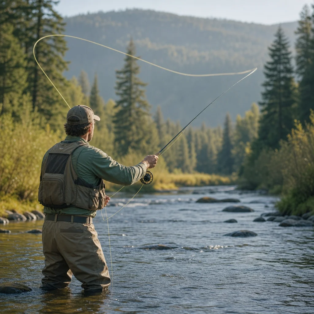
A new river can look inviting on a map and still produce a frustrating day: the access road may end at private land, the nearest parking area may be miles from the water, or the promising bend may be surrounded by steep terrain. Reading the map well helps you narrow the choices before you load the car.
The goal isn’t to predict exactly where every trout will hold. It’s to understand how the river fits into the landscape, how you’ll reach it, and which options give you a sensible backup when conditions or crowds change.
Start with the river’s shape and scale
Begin with a broad map view rather than zooming immediately into individual bends. Identify the river’s direction, major roads, nearby towns, and the distance between possible fishing areas.
Ask a few basic questions:
- Is the river a small headwater stream, a medium valley river, or a broad lowland channel?
- How far is the nearest public road from the water?
- Are there several access points, or only one obvious place to begin?
- Does the river pass through public land, private property, or a mixture of both?
- How long will it take to move between likely fishing sections?
Scale affects your plan. On a small stream, a short distance on the map might represent several hours of careful wading and casting. On a larger river, a similar distance may be difficult to cover without a vehicle shuttle, a boat, or a plan to fish from one access point.
Mark two or three possible sections instead of committing to one exact pool. A map is most useful when it gives you options.
Find access points, then examine what they actually provide
An access symbol or parking label tells you where someone may reach the river. It doesn’t necessarily tell you how easy the fishing will be from there.
For each possible access point, look for:
- A designated parking area or pull-off
- A trail leading toward the river
- A bridge, ford, or boat launch
- Public-land boundaries
- The likely distance from the parking area to the bank
- Nearby private roads, homes, gates, or posted boundaries
A short walk to the river is often more valuable than an access point that appears to be near a famous stretch but requires a long approach. If you’re carrying waders, a rod, a pack, and lunch, the difference matters.
Also consider how the access point affects your route. A trail that reaches the river at a bridge may let you fish upstream or downstream. A steep bank or fenced boundary may limit you to the immediate area. Look for connecting trails, roads, or public parcels before assuming you can travel along the bank.
Confirm your starting point: Before leaving, check the current land-access rules, parking conditions, gate status, and any seasonal closures for the specific access point you plan to use. Map labels can be incomplete or out of date.
Treat access markers as leads, not guarantees
Online maps, guide apps, and user-submitted pins can be helpful, but they vary in accuracy. A pin might mark a general river reach rather than a legal or maintained entry point. A road shown on a map may be gated, rough, private, or impassable in the season you plan to visit.
Compare at least two types of information when possible: an official land or fisheries map and a current satellite or road view. If they disagree, assume you need more confirmation before building your day around that location.
Use contours to predict effort and river character
Topographic contour lines show changes in elevation. They can help you anticipate whether the river valley is gentle and accessible or narrow and difficult to navigate.
When contour lines are far apart, the surrounding slope is relatively gradual. This may indicate easier walking, broader floodplains, and more opportunities to move away from the bank. When the lines are tightly packed, the slope is steeper. Expect cliffs, unstable banks, thick vegetation, or limited room to cast.
Look for these patterns:
- A wide valley: Often offers multiple access routes and gentler walking, though it may also have more private development.
- A narrow gorge: Can concentrate fishable water but restrict entry and exit.
- A side valley: May provide a tributary or alternate access route, but the road may end well short of the confluence.
- A series of close contour lines near the bank: May signal a steep bank rather than a productive wading area.
- A broad, flat area beside the river: Could offer easy access, but it may also be wet, brushy, or prone to flooding.
Contours are especially useful for planning your exit. A section may look easy to reach from the parking area but difficult to leave if the bank rises sharply downstream. Before choosing a long walk, identify at least one realistic route back to the road.
Don’t confuse a short distance with an easy walk
A map measures distance, not effort. A quarter-mile beside a river can take much longer than a quarter-mile on a maintained trail if you’re stepping over logs, pushing through brush, or carefully negotiating slippery banks.
Give extra weight to elevation changes and the number of barriers between the road and the river. If the map shows no obvious trail and the contours are tight, choose a simpler section for your first visit.
Study tributaries as clues and complications
Tributaries can help you understand a river’s character before you arrive. They may bring cooler water, sediment, food, or seasonal flows. Their valleys can also reveal additional access routes and changes in terrain.
A tributary junction is worth marking, but don’t assume it will automatically be the best place to fish. The confluence may have deep or awkward water, heavy brush, private property, or difficult footing. It can also attract other anglers because it is an obvious map feature.
Use tributaries to ask better questions:
- Does the tributary enter through public land or a private parcel?
- Is there a road or trail following it?
- Does the surrounding terrain become steeper above or below the junction?
- Could it add significant water during rain or snowmelt?
- Is the tributary large enough to change the river’s depth, temperature, or clarity?
A smaller tributary may be a useful backup destination if the main river is crowded or high. But it may also be too small, seasonal, or restricted to justify a long detour. Treat it as a possible option until you confirm its size and access.
Use road crossings to divide the river into manageable sections
Bridges and road crossings are some of the most useful planning landmarks. They make it easier to describe a section, estimate driving time, and plan a move if the first location is busy.
Instead of thinking, “I’ll fish this whole river,” divide it into sections such as:
- The bridge upstream to the next public access
- The access point to a tributary junction
- The tributary junction to a downstream road crossing
- A short section around a public campground or trailhead
This approach gives your day structure. You might start at one crossing, fish toward another, and stop when the terrain or time makes continuing impractical. Or you can use the crossings as boundaries for separate morning and afternoon options.
Check whether the bridge itself provides legal access. A road crossing may span the river without offering parking, a safe place to pull off, or permission to walk from the road. Some bridges are busy or narrow, making them poor places to unload equipment even if the river looks close.
Read satellite imagery for the details contours miss
Satellite imagery adds practical information that a topographic map often can't show clearly. Use it to inspect the final approach to the water.
Look for:
- Visible parking areas and turnarounds
- Two-track roads, trails, and footpaths
- Tree cover and open casting areas
- Gravel bars and side channels
- Fences, buildings, cultivated fields, and yards
- Bank erosion or steep cutbanks
- Bridges, culverts, and possible pull-offs
Satellite images can also show whether a river reach is heavily braided, shaded, or bordered by dense vegetation. A broad gravel bar may provide room to cast and move, while a tree-lined bank may require shorter casts and careful positioning.
Remember that imagery is a snapshot. Seasonal vegetation, snow, water levels, fallen trees, and recent floods can change the appearance of a river. A visible track may not be maintained, and a clear bank may be private land.
Compare imagery with the map’s boundaries
The most useful habit is comparing layers rather than relying on one view. Place public-land boundaries, roads, access points, contours, and satellite imagery together if your mapping tool allows it.
For example, satellite imagery might show an inviting meadow beside the river, but the boundary layer could reveal that it belongs to a private ranch. Another section may look less appealing from above but sit entirely within public land with a maintained trail and easy parking.
Legal access and practical access are separate questions. You need both answered before choosing a route.
Build a realistic first-day plan
Once you’ve examined the river, write down a simple primary plan and a backup plan. Avoid creating an itinerary that depends on perfect weather, an empty parking area, and easy wading.
A useful plan includes:
- Primary access: Where you’ll park and begin.
- Target section: The river reach you expect to fish first.
- Turnaround point: A bridge, trail junction, tributary, or time limit.
- Backup access: Another legal entry point nearby.
- Exit route: How you’ll return if the bank becomes difficult.
- Conditions to reconsider: High water, poor road conditions, crowds, or unclear access.
Estimate time conservatively. Allow for parking, walking, rigging, changing layers, checking the water, and solving the small problems that are part of fishing. A shorter section you can fish thoughtfully is usually a better first visit than an ambitious route you rush through.
If you’re traveling with someone, agree on the plan before splitting up. Decide where you’ll meet, how far each person intends to go, and what conditions will end the outing. A map is much more useful when everyone is reading the same landmarks.
What the map can—and can’t—tell you about trout
A map can show structure, gradient, tributaries, shade, and access. It can't reliably tell you where trout are feeding on the day of your visit.
Use the map to form hypotheses rather than promises. A moderate-gradient reach with pools, riffles, shade, and manageable banks may be a sensible starting point. Once you arrive, let current water conditions, insect activity, water clarity, fishing pressure, and observed holding water refine the plan.
You’re looking for a manageable piece of river with several types of water nearby. That gives you room to adjust without driving to a completely different destination every time the first pool fails to cooperate.
A quick map-reading checklist
Before you leave, confirm that you can answer these questions:
- Where is the legal access point?
- Where can you park without blocking traffic or private entrances?
- How far is the river from the vehicle?
- What terrain lies between the road and the bank?
- Which direction will you fish first?
- Where can you safely turn around or exit?
- What bridge, tributary, or trail will mark your limit?
- What is your backup section if the first one is crowded or inaccessible?
- Which access, road, or water conditions need current confirmation?
Save offline map areas if your mapping app supports them, and keep a paper or downloaded backup of the key roads and access points. Cell service can disappear in precisely the valleys that make a new river appealing.
Practical next steps
Choose one river section rather than trying to understand an entire drainage at once. Mark the access point, the nearest road crossing, one potential exit, and a nearby backup. Then compare the map with satellite imagery and confirm the current access details.
On arrival, compare the real river with your expectations. Note which map clues were useful, which assumptions were wrong, and how long each walk actually took. Those observations will make the next river easier to read—and may save you from planning a heroic expedition to a perfectly ordinary locked gate.